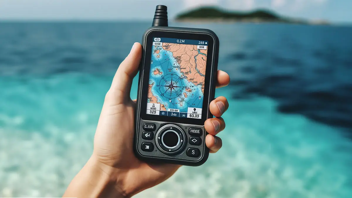

A phone can show your position until the battery fades, the screen dims, or the trail disappears under a wall of trees. A dedicated navigator earns its place when you need replaceable batteries, physical controls, reliable track recording, or maps that remain available away from a signal.
The Best Handheld GPS options here range from simple monochrome navigators to multi-band Garmin units and specialized devices for coastal charts or land measurement. We also included a few newer alternatives with rechargeable batteries and large displays.
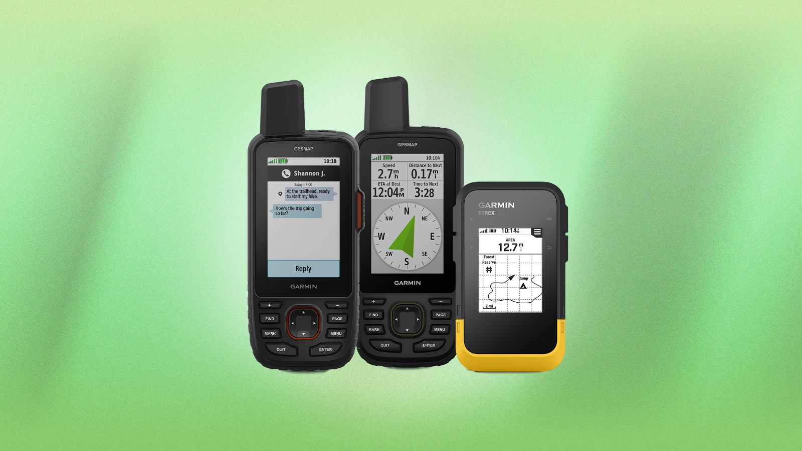
Our top pick is the Garmin GPSMAP 65, with the Garmin eTrex 22x, Garmin eTrex SE, and Garmin GPSMAP 79sc covering hiking, long trips, geocaching, and boating.
Comparison table
| # | Product | Award | Display | Battery | Best for |
|---|---|---|---|---|---|
| 1 | Garmin GPSMAP 65 | Best overall | 2.6-inch sunlight-readable color | Not specified | Difficult terrain and dense cover |
| 2 | Garmin eTrex 22x | Best for trail mapping | 2.2-inch color, 240 x 320 | Up to 25 hours, 2 AA | Hiking and cycling |
| 3 | Garmin eTrex SE | Best battery life | 2.2-inch high-resolution | Up to 168 hours standard, 1, 800 hours expedition, 2 AA | Extended trips |
| 4 | Garmin GPSMAP 65s | Best with sensors | 2.6-inch sunlight-readable color | Not specified | Navigation with elevation data |
| 5 | Garmin eTrex 32x | Best compact compass model | 2.2-inch color, 240 x 320 | Up to 25 hours, 2 AA | Hikers who want a compass and altimeter |
| 6 | Garmin GPSMAP 79sc | Best for boating | High-resolution color | Up to 20 hours | Coastal navigation |
| 7 | NiesahYan 3.2-inch Navigator | Best large-screen alternative | 3.2-inch sunlight-readable | Up to 36 hours, rechargeable | Hiking with a larger view |
| 8 | Garmin eTrex 10 | Best simple navigator | 2.2-inch monochrome | Up to 20 hours, 2 AA | Basic waypoint navigation |
| 9 | NiesahYan A6 | Best map-free tracker | 2.4-inch color | Up to 20 hours, rechargeable | Track recording and backtracking |
| 10 | NiesahYan ZL180 | Best for land measurement | 2.4-inch FSTN LCD | Not specified | Measuring fields and parking areas |
1. Garmin GPSMAP 65: Best Overall

Pros
- Multi-band technology improves positioning in difficult environments
- Expanded GNSS support
- Routable TopoActive maps included
- 2.6-inch sunlight-readable color display
- Works with Garmin Explore for trip planning and track management
Cons
- No compass or barometric altimeter listed
- Smartphone required for Garmin Explore features
- Battery runtime is not specified
Best for: hikers and field users who need stronger positioning around trees, steep terrain, and urban structures.
The Garmin GPSMAP 65 is the one we'd hand to someone who wants a serious handheld navigator without jumping to a touch-screen design. Its button operation makes sense in rain, gloves, and cold weather, while the 2.6-inch color display gives maps and route lines more breathing room than the smaller eTrex screens. It is not tiny, but its listed 0.48-pound weight is still manageable on a pack strap or in a jacket pocket.
The important upgrade is the positioning system. Expanded global navigation satellite systems and multi-band technology are designed for challenging locations such as steep country, dense forests, and urban canyons. That does not make every satellite signal perfect, but it gives the GPSMAP 65 a more capable foundation than the GPS and GLONASS combination in the Garmin eTrex 22x. The device also includes routable TopoActive mapping and a U.S. federal public land map, so it is more useful for planning a route than a track-only device.
Garmin Explore adds a practical second layer. With a compatible smartphone, you can manage tracks, routes, and waypoints, then review trip statistics away from the handheld's smaller screen. That workflow is much more flexible than the basic Garmin eTrex 10, while the GPSMAP 65 remains more focused and easier to operate outdoors than a phone.
The weakness is the missing sensor package. Garmin does not list a compass or barometric altimeter for this model, so someone who wants a heading while stationary or elevation changes should move to the Garmin GPSMAP 65s. Battery runtime is also not specified in the supplied details, which makes it harder to plan an especially long trip. For hikers who care most about dependable positioning and usable maps under cover, though, the GPSMAP 65 is the strongest all-round pick.
2. Garmin eTrex 22x: Best for Trail Mapping

Pros
- Routable TopoActive roads and trails included
- 25-hour battery life with two AA batteries
- GPS and GLONASS support
- 8 GB internal memory and microSD card slot
- Compact 0.31-pound design
Cons
- Smaller 2.2-inch screen
- No compass or barometric altimeter listed
- Older satellite support than the GPSMAP 65
Best for: hikers and cyclists who want familiar buttons, replaceable batteries, and maps without a bulky device.
The Garmin eTrex 22x gets the basics right in a compact body. It is small enough to carry without thinking about it, yet it includes color mapping rather than forcing you to interpret a simple breadcrumb trail. The 2.2-inch sunlight-readable screen has 240 x 320 pixels, and that resolution is enough for following a route without turning the device into a miniature tablet.
Its strongest feature is the balance between mapping and battery practicality. TopoActive maps come preloaded with routable roads and trails for cycling and hiking, while 8 GB of internal memory leaves room for map downloads. A microSD card slot gives you another way to expand storage. GPS and GLONASS support can help with tracking in more challenging environments than GPS alone, though the newer multi-band system in the Garmin GPSMAP 65 is the more advanced choice under dense cover.
The eTrex 22x also has the kind of battery setup that suits remote trips. Two AA batteries provide up to 25 hours in GPS mode, and replacing them is simpler than finding a charging outlet. At 0.31 pounds, it is lighter than the GPSMAP 65 and feels less like a piece of expedition equipment. Those qualities make it especially appealing for day hikes, cycling routes, and backup navigation.
There is a clear limit. Garmin does not list a three-axis compass or barometric altimeter here, so it cannot match the Garmin eTrex 32x for stationary headings or elevation tracking. Its 2.2-inch display is also less comfortable for dense map detail than the GPSMAP 65's 2.6-inch panel. Pick the eTrex 22x when compact trail mapping and AA battery convenience matter more than the newest positioning technology.
3. Garmin eTrex SE: Best Battery Life

Pros
- Up to 168 hours in standard mode
- Up to 1, 800 hours in expedition mode
- Multi-GNSS support
- Digital compass works while stationary
- IPX7 water-resistant design
Cons
- AA batteries are not included
- Many connected features require a compatible smartphone
- Mapping features depend on the Garmin Explore pairing
Best for: travelers who prioritize long battery endurance and a compact device over a large map display.
The Garmin eTrex SE is the endurance specialist in this group. Its headline numbers are unusually strong: up to 168 hours in standard mode and up to 1, 800 hours in expedition mode, both using two field-replaceable AA batteries. Expedition mode is intended for situations where you need the navigator to sip power rather than constantly update at a high rate. For multi-day trips, that difference matters more than a brighter or larger screen.
The 2.2-inch high-resolution display is designed to remain readable in bright sunlight. It is not as roomy as the 2.6-inch display on the Garmin GPSMAP 65, but the eTrex SE keeps the compact shape that makes the eTrex family easy to carry. Its multi-GNSS support includes GPS, GLONASS, Galileo, BeiDou, and QZSS, giving it broader satellite compatibility than the eTrex 22x.
A digital compass is built in and can provide an accurate heading even when the unit is stationary. That is a meaningful step beyond the Garmin eTrex 10, which is more of a basic position and waypoint tool. The eTrex SE is also rated IPX7 for water resistance, so it is better suited to wet hiking conditions than a device with no stated water-resistance rating.
The connected features are both useful and limiting. Pairing with the Garmin Explore app enables wireless software updates, trip planning, Active Weather, smart notifications, additional mapping, and automatic cache updates from Geocaching Live. Those features require a compatible smartphone, so the SE is not entirely self-contained. It also lacks the eTrex 32x's listed barometric altimeter. Choose it for long battery life, multi-GNSS tracking, and geocaching support, not for the largest or most detailed standalone map experience.
If your outings also involve staying reachable, a separate device category may make sense. The needs of a compact communicator for backcountry contact are different from those of a navigator, and the two tools can complement each other without asking one device to do everything.
4. Garmin GPSMAP 65s: Best With Sensors

Pros
- Multi-band technology for difficult terrain
- Expanded global satellite support
- Three-axis compass and barometric altimeter
- Routable TopoActive mapping
- Garmin Explore compatibility
Cons
- Battery runtime is not specified
- Larger body than the eTrex models
- Smartphone required for Garmin Explore features
Best for: backcountry users who want accurate positioning plus heading and elevation tools in one unit.
The Garmin GPSMAP 65s is the more complete version of the GPSMAP 65. It keeps the same 2.6-inch sunlight-readable color display, button-operated interface, expanded satellite support, and multi-band technology, then adds the sensors that serious hikers often use to make sense of a route. The result is a capable field instrument rather than just a map screen with a position marker.
The three-axis compass is useful when you stop moving and still need a heading. A GPS-derived direction can become unreliable when you are standing still, while a compass can continue to show orientation. The barometric altimeter adds elevation context, which can help with understanding a climb or confirming where you are on a mountain route. Those tools are the main reason to choose the 65s over the otherwise similar Garmin GPSMAP 65.
Mapping is handled well. The unit includes routable TopoActive maps and a U.S. federal public land map, and Garmin Explore can manage tracks, routes, and waypoints when paired with a compatible smartphone. Multi-band positioning is designed for places where reflected or obstructed signals make ordinary satellite reception less dependable. That makes the 65s a better fit for steep country and dense forest than the older Garmin eTrex 32x, even though both include an altimeter and compass.
The trade-off is physical size and uncertainty around endurance. The listed weight is 0.48 pounds, and the supplied information does not specify battery life. The smaller eTrex SE is easier to pack and has a clearly stated long-running battery system, while the GPSMAP 65s is the better tool for users who need sensor data and stronger positioning. Skip it if you only want a simple route recorder. Choose it if heading, elevation, and difficult signal conditions all matter.
5. Garmin eTrex 32x: Best Compact Compass Model

Pros
- Three-axis compass and barometric altimeter
- Routable TopoActive maps
- 25-hour battery life with two AA batteries
- GPS and GLONASS support
- 8 GB memory plus microSD card slot
Cons
- 2.2-inch screen is smaller than the GPSMAP displays
- No multi-band positioning
- Older design than the eTrex SE
Best for: hikers who want a light mapping unit with a compass and altimeter but do not need multi-band reception.
The Garmin eTrex 32x takes the compact eTrex formula and adds the two sensors that make it more useful away from a straightforward trail. Its three-axis compass can show direction without requiring movement, and the barometric altimeter provides elevation information. Those additions make it a more versatile backcountry companion than the eTrex 22x, while the 0.31-pound listed weight keeps it easy to carry.
The display is a 2.2-inch sunlight-readable color panel with 240 x 320 pixels. That is enough for route lines, map labels, and basic trail context, though the 2.6-inch screen on the Garmin GPSMAP 65s is more comfortable when a map is busy. TopoActive maps are preloaded with routable roads and trails for hiking and cycling, and the 8 GB of internal memory plus a microSD card slot allows room for additional maps.
Battery handling is one of its practical strengths. Two AA batteries provide up to 25 hours in GPS mode, so a spare pair can restore the unit in the field. GPS and GLONASS support help it track in more challenging environments than GPS alone. The eTrex SE supports more satellite systems and offers far longer stated runtime, but the 32x gives you an altimeter in a similarly compact format.
The weakness is that its positioning system is not as modern as the multi-band setup in the Garmin GPSMAP 65 or 65s. It is also an older-feeling design, with a smaller screen and fewer connected features than the eTrex SE. That does not make it a poor navigator. It simply means the 32x is best for users who specifically want a light, button-driven Garmin with maps, a compass, and an altimeter.
6. Garmin GPSMAP 79sc: Best for Boating

Pros
- Floats in water
- Preloaded BlueChart g3 coastal charts
- IPX6 water-resistant design
- Three-axis tilt-compensated compass
- Barometric altimeter and 20-hour GPS battery life
Cons
- Heavier than the compact eTrex models
- More specialized for marine use
- IPX6 rating is specified at the unit level
Best for: boaters and coastal users who need marine charts, water protection, and a floating navigator.
The Garmin GPSMAP 79sc is not simply a hiking GPS with a marine-colored shell. Its defining feature is that it floats, which can turn a dropped device from a disaster into a recoverable mistake. The rugged design has a high-resolution color display with scratch-resistant, fogproof glass, and the unit is rated IPX6 at the unit level for water resistance.
BlueChart g3 coastal charts come preloaded, giving this model a clear purpose that none of the trail-focused Garmin devices can match. It also supports GPS, GLONASS, BeiDou, Galileo, QZSS, and SBAS, so it can track across a broad set of satellite constellations. For a boater, the combination of marine charts and a floating body is more important than the smaller size of the Garmin eTrex 22x.
The sensor package is strong as well. A three-axis tilt-compensated electronic compass can show a heading while standing still, and the barometric altimeter tracks pressure changes to estimate altitude. The unit can store up to 10, 000 waypoints, 250 routes, and 300 fit activities, which gives frequent users ample room for saved information. Battery life is listed at up to 20 hours in GPS mode.
The downside is specialization. At a listed 0.6217 pounds, it is heavier than the eTrex models, and its marine features add little for someone who only hikes inland trails. The IPX6 detail also deserves attention because the rating is specified for the unit level. Choose the GPSMAP 79sc when coastal charts and a floating design are central requirements. Hikers should look first at the GPSMAP 65 or eTrex 32x.
For drivers, the requirements are different again. A device designed to stay mounted and provide roadway guidance belongs in a discussion of navigation that is built around a vehicle, not in the same decision as a floating trail navigator.
7. NiesahYan 3.2-inch Navigator: Best Large-Screen Alternative

Pros
- Largest listed display in this roundup
- Multi-GNSS support
- Three-axis compass and barometric altimeter
- Up to 36 hours of rechargeable battery life
- USA Topo maps and 32 GB internal memory
Cons
- IP66 is water-resistant, not a submersion rating
- Brand and mapping ecosystem are less established than Garmin's
- Position accuracy claim depends on outdoor satellite conditions
Best for: hikers who want a large readable screen, rechargeable power, and built-in sensors.
The NiesahYan 3.2-inch Navigator stands out immediately because its screen is larger than every Garmin display in this list. A 3.2-inch sunlight-readable panel gives route lines and map information more room, which can reduce the need to zoom and pan constantly. Physical buttons and an anti-slip design keep it oriented toward outdoor use rather than phone-style tapping.
Its satellite support is broad. GPS, Galileo, BeiDou, and QZSS work together as a multi-GNSS system, and the product states location precision within 6 feet. Real-world reception still depends on sky visibility and surrounding obstructions, but the combination is more ambitious than the GPS and GLONASS support in the eTrex 22x. A three-axis compass can provide a heading while stationary, while the barometric altimeter adds elevation context.
The power system is also different from Garmin's classic AA approach. A rechargeable battery is rated for up to 36 hours and charges with a standard USB-C cable. That is convenient for travelers carrying a power bank, although it removes the simple option of swapping in fresh batteries. USA Topo maps are preloaded, and 32 GB of internal memory is available for map downloads.
The main question is ecosystem confidence. Garmin offers a mature mapping and planning workflow through its own devices and Explore app, while this navigator's supplied details do not identify an equivalent service. Its IP66 rating indicates resistance to dust and water jets, but it should not be treated as a submersion-ready device. Pick it over the Garmin GPSMAP 65 if the larger display and rechargeable battery matter most. Skip it if established mapping tools and Garmin's accessory ecosystem are your priorities.
8. Garmin eTrex 10: Best Simple Navigator

Pros
- Simple button-operated design
- Worldwide basemap included
- IPX7 water resistance
- GPS, WAAS, HotFix, and GLONASS support
- Up to 20 hours with two AA batteries
Cons
- Monochrome display
- No detailed color maps listed
- No compass or barometric altimeter listed
Best for: users who need coordinates, tracks, and waypoints without detailed color mapping.
The Garmin eTrex 10 is the deliberately simple pick. Its 2.2-inch monochrome display does not try to imitate a phone, and that can be an advantage when the job is recording a track, storing waypoints, or following basic position information. The worldwide basemap provides broad geographic context, but the supplied details do not list the detailed routable trail maps found on the eTrex 22x.
The receiver supports GPS, WAAS, HotFix, and GLONASS. HotFix is intended to help the device acquire a position more quickly, while GLONASS adds another satellite system for tracking. This is a practical combination for straightforward navigation, but it is not the multi-band approach used by the Garmin GPSMAP 65. Users heading into deep forest or steep terrain should expect the newer GPSMAP models to be the more capable tools.
Battery handling is uncomplicated. Two AA batteries provide up to 20 hours of use, and IPX7 water resistance protects the unit from rain and splashes. The device also supports paperless geocaching and Garmin spine mounting accessories. Its small size and 0.312-pound listed weight make it easy to keep on a belt or pack without adding much bulk.
The limitation is the screen and the absence of richer sensors. A monochrome display makes the eTrex 10 less useful for interpreting a complex trail map, and there is no compass or barometric altimeter listed. The Garmin eTrex SE is a stronger choice for geocachers who want modern multi-GNSS support and wireless features, while the eTrex 10 remains the better fit for someone who wants the fewest distractions and a simple waypoint navigator.
9. NiesahYan A6: Best Map-Free Tracker

Pros
- Bright 2.4-inch high-resolution color screen
- GPS, Galileo, BeiDou, and QZSS support
- Rechargeable USB-C battery
- Compass and barometric altimeter
- Can record tracks and store waypoints
Cons
- Does not include maps
- Battery life is limited to up to 20 hours
- Requires open sky for the stated positioning procedure
Best for: hikers who want to record a route and retrace it without carrying a map-focused navigator.
The NiesahYan A6 is best understood as a track recorder with a color screen, not a traditional map navigator. Its 2.4-inch high-resolution display is a useful size for following a recorded line, and the device can guide you back toward your starting point after storing a track. That makes it suitable for exploring a property, following an out-and-back route, or marking waypoints during a hike.
The satellite system supports GPS, Galileo, BeiDou, and QZSS. The product says users should search for satellite signals in an uncovered sky before use and begin when the signal value shown on the device is below 1 meter. That instruction is important because the A6's usefulness depends on getting a solid initial position. It is not a substitute for a device with detailed terrain mapping when you need to understand what lies beyond your current track.
A GPS compass and barometric altimeter provide extra context, and the compass can show direction while you are moving through an unfamiliar area. The rechargeable battery is rated for up to 20 hours of continuous use and charges through USB-C. That is convenient if you already carry a cable and power bank, though the Garmin eTrex 22x offers a more conventional replaceable-AA arrangement for remote trips.
The biggest weakness is stated plainly in the product details: the A6 has no maps. That rules it out for many route-planning jobs and makes it less flexible than the Garmin eTrex 10, despite its color display. It is a sensible choice for recording and retracing tracks, but hikers who need trail context, roads, or terrain information should choose a mapped Garmin or the NiesahYan 3.2-inch Navigator instead.
People who only need a device to keep track of a person or object should not confuse that task with navigation. A tracker for monitoring location remotely solves a different problem and usually follows a different design.
10. NiesahYan ZL180: Best for Land Measurement

Pros
- Measures area and straight or curved distance
- 2.4-inch FSTN LCD with backlight
- GPS and GLONASS coverage
- Compact 180-gram design
- Intended for fields, ranches, gardens, and parking areas
Cons
- Cannot save waypoints
- Cannot be used for navigation
- Requires open outdoor satellite reception
- Recommended measurement ranges limit its use for small jobs
Best for: landowners who need area and distance measurements rather than route navigation.
The NiesahYan ZL180 is the specialist here, and that distinction matters. It is not a hiking navigator with an unusual menu. Its purpose is measuring land, with two area-measurement methods and two distance-measurement methods for straight and curved lines. The intended jobs include gardens, parking areas, ranches, and flat fields.
The 2.4-inch FSTN screen has a backlight so measurement results can be read directly on the device. The body weighs approximately 180 grams, or 6.3 ounces, and its grooved shape is designed to be easy to hold. GPS and GLONASS provide satellite coverage, but the supplied information describes the tool as a measuring device rather than a route-planning system.
The usage instructions are unusually important. Measurements should begin outdoors after satellite signals are found, and the device should be held horizontally. The product recommends measuring areas above 0.05 acres and distances above 328 feet, with larger ranges reducing error. Its stated area measurement error is 0.003 acres. The altitude shown is GPS altitude and can change with satellite signal, which is not the same as a calibrated barometric elevation reading.
The ZL180 cannot save waypoints and cannot be used for navigation. That makes it a poor fit for a hiker comparing it with the Garmin eTrex 10, but a potentially useful tool for someone who needs a quick area or distance estimate on land. Choose it only when measurement is the assignment. If you need to find your way back, record a track, or follow a mapped trail, choose one of the navigation-focused devices above.
How to choose Best Handheld GPS
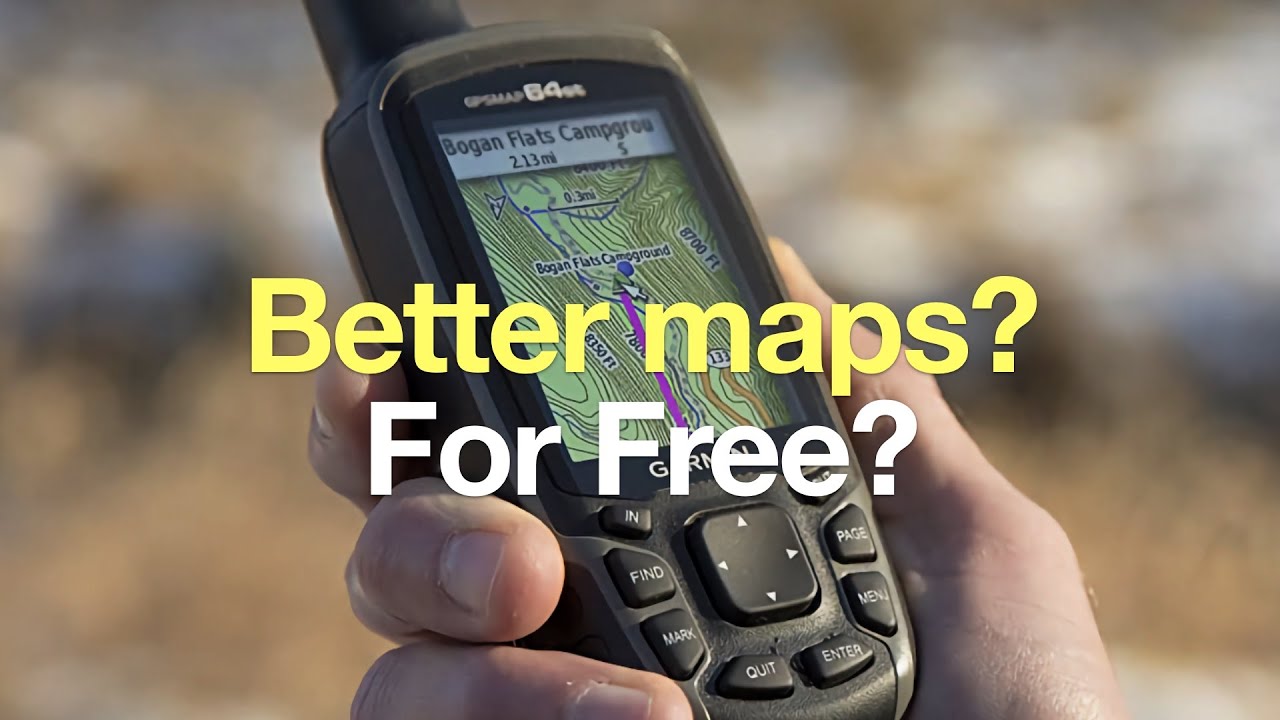
The right handheld navigator depends less on the shape of the device than on what you need it to do after the trail, road, or shoreline stops being familiar.
Satellite support and positioning
Basic GPS receivers can be perfectly useful in open country, but additional satellite systems give a device more opportunities to calculate a position. GPS and GLONASS appear on the eTrex 10, eTrex 22x, and eTrex 32x. Newer multi-GNSS devices add systems such as Galileo, BeiDou, QZSS, and SBAS.
Multi-band technology is a separate upgrade. The Garmin GPSMAP 65 and 65s are specifically designed to improve accuracy in difficult locations such as dense forests, steep terrain, and urban canyons. If your routes regularly pass through heavy cover, that capability deserves more attention than screen size.
Maps and storage
A color screen does not automatically mean a device has useful maps. The eTrex 22x, eTrex 32x, and GPSMAP models include routable TopoActive mapping, while the eTrex 10 lists a worldwide basemap. The NiesahYan A6 explicitly has no maps, so it is intended for recording and retracing tracks rather than planning around terrain.
Storage matters when you want to add or retain map data. The eTrex 22x and 32x have 8 GB of internal memory plus a microSD card slot. The NiesahYan 3.2-inch Navigator lists 32 GB of internal memory. Check the mapping system as well as the storage number, because a large memory capacity is not useful if the map workflow is unclear.
Screen and controls
A 2.2-inch display keeps a navigator compact, but a 2.6-inch or 3.2-inch screen makes labels and route lines easier to inspect. Sunlight readability is essential outdoors, and the devices in this roundup use either sunlight-readable color displays or a monochrome screen on the eTrex 10.
Physical buttons remain useful in rain, cold, and gloves. They also reduce the chance of accidental touches while the navigator is attached to a pack. Choose a larger screen when map interpretation matters. Choose a smaller body when you mainly need coordinates, a breadcrumb trail, or a quick waypoint check.
Battery system and endurance
Replaceable AA batteries are reassuring when you are far from a charger. The eTrex 22x and 32x run for up to 25 hours with two AA batteries, while the eTrex 10 runs for up to 20 hours. The eTrex SE goes much further, with up to 168 hours in standard mode and up to 1, 800 hours in expedition mode.
Rechargeable models simplify daily charging. The NiesahYan 3.2-inch Navigator lists up to 36 hours and uses USB-C, while the A6 lists up to 20 hours. Match the power system to your trip length and the charging options you can realistically carry.
A larger screen helps you read a map, but a longer-lasting battery is what keeps that map available when the route takes longer than planned.
Compass, altimeter, and water resistance
A compass that works while stationary is useful when you stop moving to orient a map. A barometric altimeter adds elevation information and can help explain progress on a climb. The eTrex 32x, GPSMAP 65s, GPSMAP 79sc, eTrex SE, and the NiesahYan alternatives include some form of compass or altimeter according to their supplied details.
Water protection varies. IPX7 on the eTrex 10 and eTrex SE is different from the IPX6 unit-level rating on the GPSMAP 79sc and the IP66 rating on the NiesahYan 3.2-inch Navigator. A floating design makes the GPSMAP 79sc the clear choice for boating, while hikers should still protect any navigator from unnecessary immersion.
Frequently asked questions
Do handheld GPS units work without cell service?
Yes. The devices in this roundup calculate position from satellite signals rather than a cellular data connection. Maps, route planning, weather features, and software updates may require a paired smartphone or downloaded map data, depending on the model.
Is a handheld GPS better than a phone for hiking?
A dedicated navigator can offer replaceable batteries, physical buttons, water resistance, and a more outdoor-focused design. A phone may provide a larger screen and broader apps, but it depends more heavily on battery management and preparation for offline use.
Which handheld GPS has the longest battery life?
The Garmin eTrex SE lists up to 168 hours in standard mode and up to 1, 800 hours in expedition mode with two field-replaceable AA batteries. Those figures are much longer than the stated runtimes of the other navigation-focused models here.
Do all of these devices include maps?
No. The NiesahYan A6 specifically does not have maps, and the NiesahYan ZL180 is a land measurement device rather than a navigation unit. The Garmin eTrex 22x, eTrex 32x, GPSMAP 65, and GPSMAP 65s include mapping features described in their product details.
Do I need a compass and barometric altimeter?
Not for every trip. They are useful when you need a heading while stationary or want elevation information, but a basic route recorder can be enough for marked trails and simple backtracking. The eTrex 32x and GPSMAP 65s are good choices when both sensors matter.
Which handheld GPS is best for boating?
The Garmin GPSMAP 79sc is the clear specialist because it floats, includes BlueChart g3 coastal charts, and has a water-resistant rugged design. Its three-axis compass, barometric altimeter, and support for multiple satellite constellations add useful marine context.
Can a handheld GPS measure land area?
The NiesahYan ZL180 is designed specifically for area and distance measurement. It cannot save waypoints or provide navigation, so it should not be treated as a substitute for a mapped hiking navigator.
The bottom line
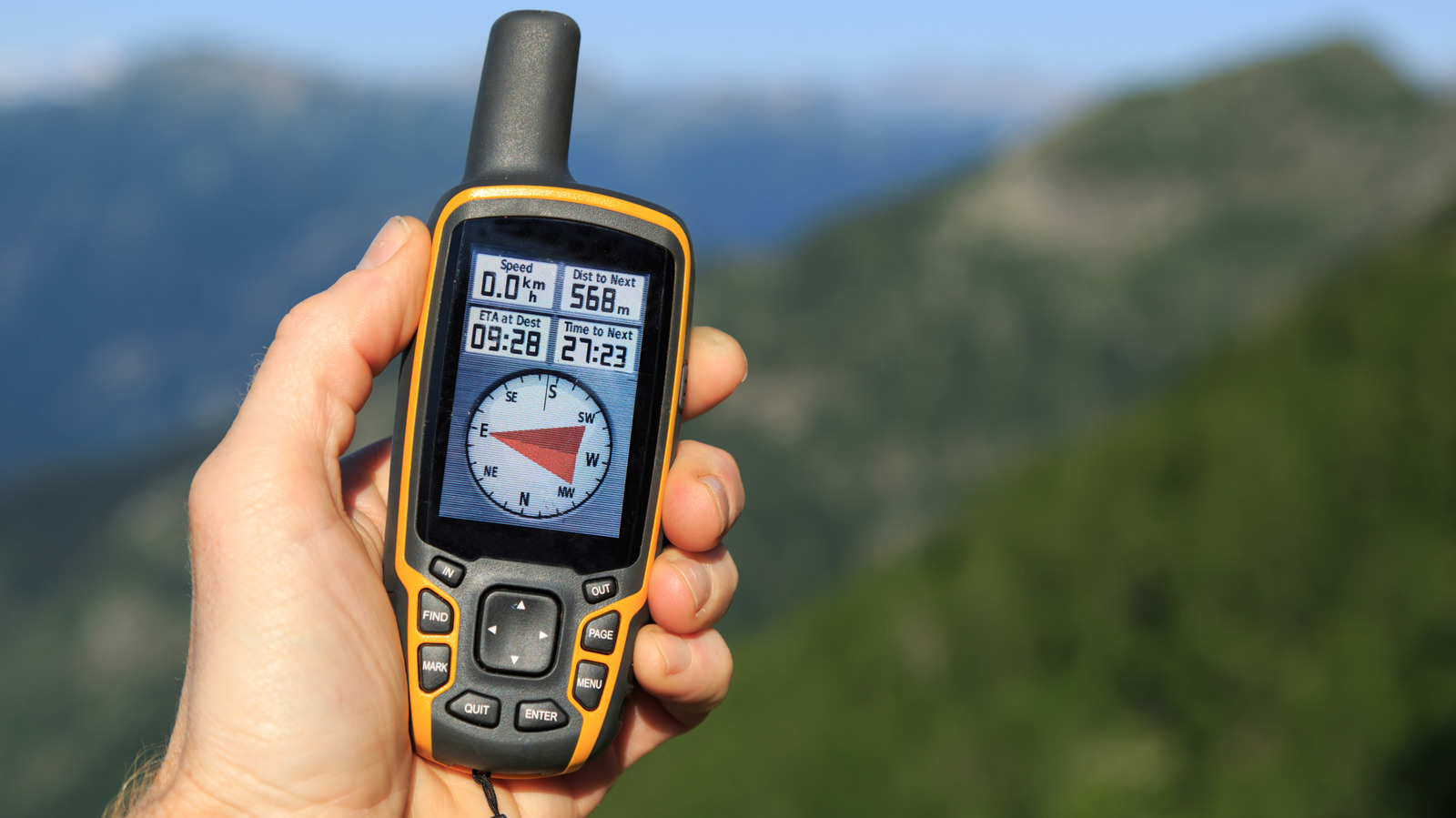
The Garmin GPSMAP 65 is our top Best Handheld GPS pick because it combines a readable 2.6-inch color display, routable maps, expanded satellite support, and multi-band technology for difficult terrain. Choose the Garmin GPSMAP 65s instead when a three-axis compass and barometric altimeter are essential.
For simpler trail use, the Garmin eTrex 22x is compact and practical, while the Garmin eTrex SE is the better long-trip tool because of its exceptional stated battery endurance. Boaters should choose the floating Garmin GPSMAP 79sc, and landowners measuring fields or parking areas should choose the specialized ZL180.
If you are undecided, choose the Garmin GPSMAP 65 for demanding navigation, or the eTrex SE when long battery life matters most.
As an Amazon Associate we earn from qualifying purchases.